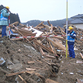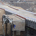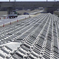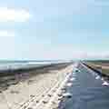
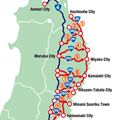
Clearance
Teeth of a Comb
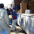
This operation was arranged in order Tohoku Expressway and Route 4 enable to reach to the major coastal roads such as Route 6 and Route 45, where serious damages were estimated.
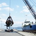
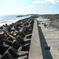
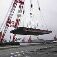
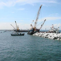
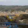
Channel clearance
The channel clearance and the restoration of some anchorage area enabled receiving relief supplies at ten major ports by March 23.